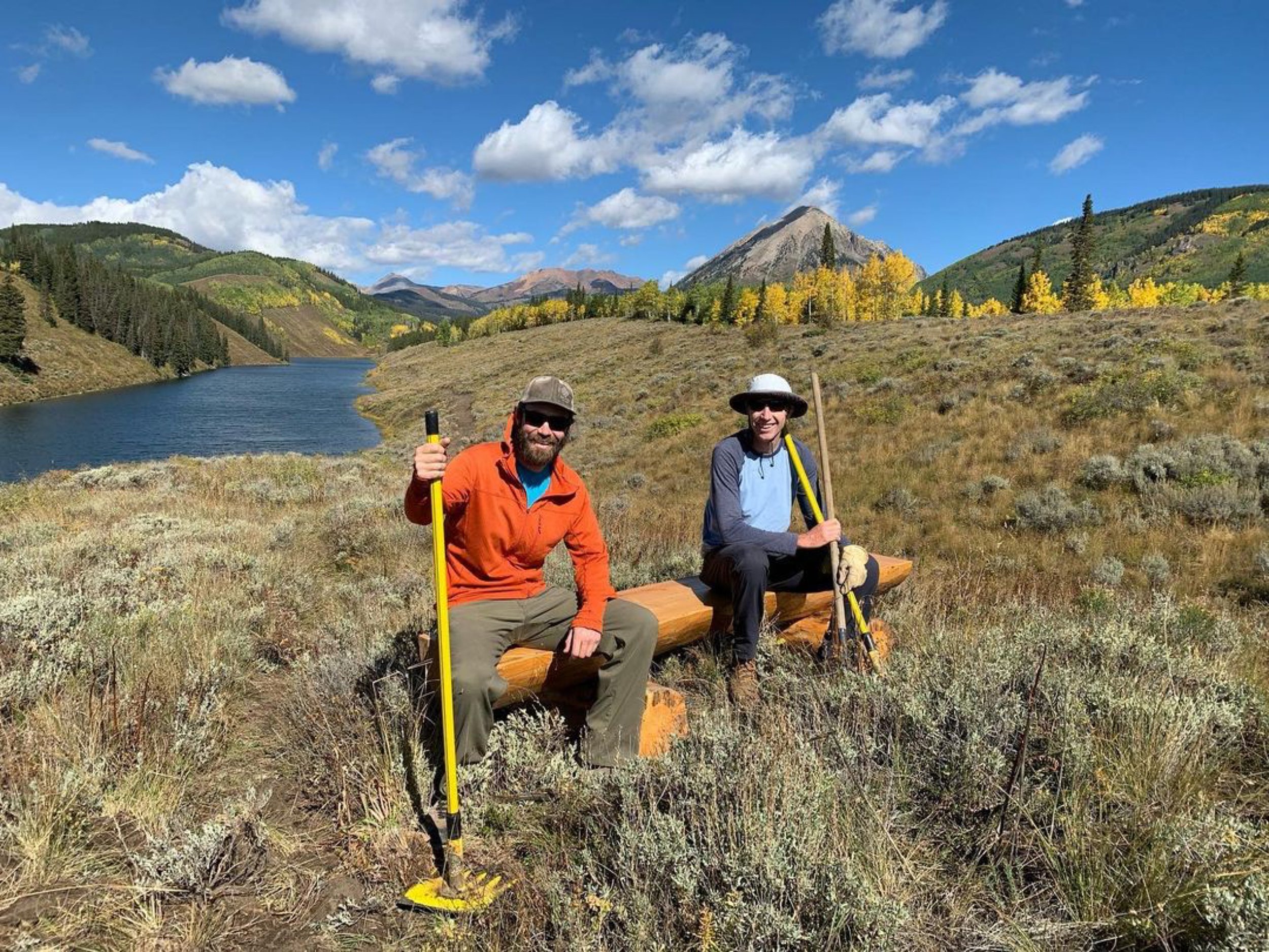
Outdoor Alliance Welcomes Peter Horgan
Outdoor Alliance is excited to welcome Peter Horgan as our GIS Advocacy Manager and the newest member of our team. Peter will be leading the mapping, data, and GIS work that grounds Outdoor Alliance’s policy analysis and helps us protect public lands and waters.
Tell us a little about how you got to Outdoor Alliance.
Having spent the last 10+ years living in a small mountain town in south-central Colorado undoubtedly heightened my exposure to how land is owned and managed and how recreation gets folded into the mix. Working as a climbing guide, in private land conservation, and pursuing other professional pursuits in the outdoors ultimately led me to learning how land management can be approached through a geospatial lens to make informed, data-driven decisions.
What do you love to do outside?
Climbing is what I pursue with the most passion. I found climbing while attending college in Ft. Collins, Colorado and after those first couple of days climbing outside, I was hooked. During the colder months, snowboarding/splitboarding is my go-to winter activity. I’ll pretty much make any excuse to go for a walk in the woods.
What advocacy issues do you care most about right now?
What’s top of mind for me is getting America’s Outdoor Recreation Act across the finish line.
What is the role of GIS in advancing the advocacy issues we are working on?
GIS and maps can often provide that “ah ha!” moment that can’t always captured through other mediums. When a piece of legislation is working its way through Congress or when a forest planning process is underway, we can clearly identify where recreation sites are and how they might be affected by these processes. GIS allows us to take a deeper dive into how these recreation opportunities really contribute to larger conservation efforts.
What are you most looking forward to about your new gig at Outdoor Alliance?
Since joining the OA team, I have the opportunity to bring my experience in creating maps and other cartographic products to support the critical work of the Outdoor Alliance. Maps play important roles in our lives and I see it being no different in playing a critical role in communicating information that benefits public lands and the outdoor recreation community. I’m looking forward to supporting our policy efforts and identifying engaging and creative ways to communicate this information to our partners and to the larger recreation community.


